As is said, Back in the Day, we only had compass for navigation (OK a Radio direction finder, lead line, hand bearing compass and sextant)
A compass can be compensated, using magnets in the compass or external magnets. We used to do this in Long Beach CA, with a "Range" on the breakwater. (Measured nautical mile, plus N/S and E/W ranges.)
Other locations you can find or make a range. I do like to check my steering compass before starting a voyage, thus use the sun compass. There are many ways to use an "Internal range"--for a quality hand bearing compass, or GPS compass (Differential two GPS receivers, such as Garmin or Furano ) These are in the $1000 plus range. Good Trimble surveyors GPS compass can start in the $7,000 range and go on up...
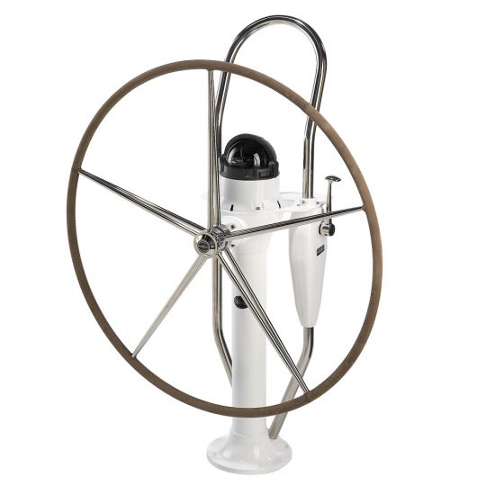
Thataway, C Dory 25, had a "Silva hand bearing compass, mounted far enough away that radios, GPS etc had minimal effect. This was the ship's steering compass and could be used as a hand bearing compass. It was aligned with fore and aft boat orientation.

Below is the hand bearing puck I have in ditch bag.

For on land or sea, I have 7 X50 Fujicon binoculars with compass built in, and night illuminated. I also use a military lensatic compass (real military, not the cheap Chinese knock offs.) I also have a Silva Ranger II chart compass to use with Topo Maps. This works better with maps, the Lensatic better for over land navigation...
I have "Sun Compass" which I have used for years to check my compass, and compensate it if necessary, plus make deviation tables. iBelow is similar to mine, basically a reverse compass card, with a long pin in the center. The pin is accurately at right angles to the card, and the card must be level. Azimuth of the sun is from tables (Bowditch, American Practical Navigator is the set I used).
Important to know: Variation (Chart) or Declination (Map) is a magnetic interference common to all vessels from the true to magnet North Pole. This changes, and there are Variations noted on NOAA DMA charts. The rate of change should be noted on charts, and used. When I moved to Pensacola 30 years ago, the "0" ran thru Pensacola, now it is about 1.8 degrees East.
You should know the Variation Declination for your location.
Deviation is a magnetic interference unique to the vessel itself and should be compensated. After the compensation with magnets, then a card of Deviation should be made:
Deviation Card: